Crops:
No crop specified.
Categories:
Countries:
About
Cadasta is a global land technology and services platform designed to help collect, analyze, store and share data on land and resource rights. Cadasta’s tools empower vulnerable communities to affordably and easily document, map and secure inclusive land and resource rights at scale for a more sustainable and equitable planet. Cadasta Foundation, a Washington D.C. based nonprofit founded in 2015, works with more than 60 partners from the private, public, and grassroots sectors to implement projects and to document and secure land, housing, and resource rights.
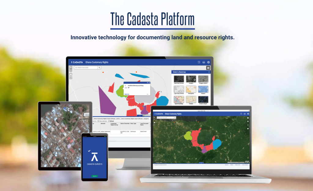
Capability and features
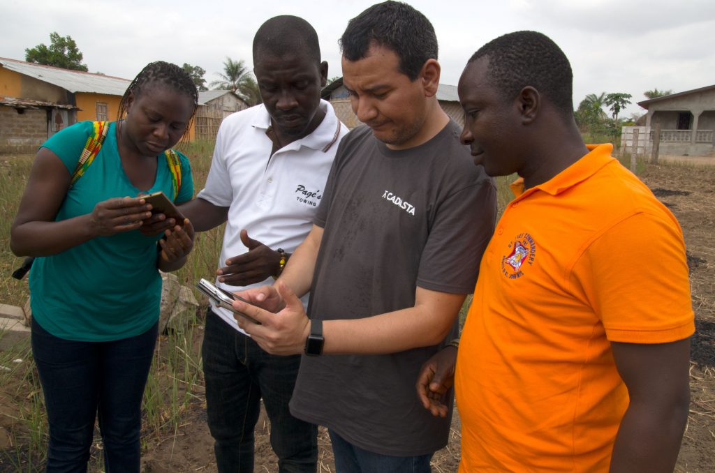
Partners can use Cadasta’s suite of mobile and web-based tools to help collect, manage, and store land and resource rights data. The Cadasta platform is designed to allow for on- and off-line collection of information about people’s relationship with land and resources, including spatial dimensions, footage from drones, digital maps, video and audio interviews, photographs, paper attestations, tax receipts and other supporting documents. The platform is also able to process and store data that has already been collected through traditional paper-based surveys and maps. Cadasta platform and tools are built on the principles of open standards and access, supported by Esri ArcGIS technology
Cadasta’s tools can be used to document a range of data, including land claims, land use, housing conditions, and agricultural practices, as dictated by cooperatives or agribusinesses which they supply. With the information gathered using Cadasta’s tools, farmers can gain a better understanding of their landholdings, ensure traceability of their products and increase security of their land rights.
Progress to date
In five years, Cadasta has reached over 5 million people in 42 countries on their platform, strengthening land and resource rights. A growing network of 90 implementing partners are using Cadasta to increase tenure security and improve livelihoods, empower women and youth, and achieve better climate outcomes for a more equitable, sustainable planet. Cadasta has also worked with 24 governments to issue 269,106 official land documents.
Cadasta received Esri’s Special Achievement in GIS Award for 2021.
Every half year, we send out an eNewsletter with the most current news on digital solution for the agriculture industry. To join, enter your email address below and hit the subscribe button!